Charminster, Fampoux Gardens
Introduction
The photograph on this page of Charminster, Fampoux Gardens by Mike Faherty as part of the Geograph project.
The Geograph project started in 2005 with the aim of publishing, organising and preserving representative images for every square kilometre of Great Britain, Ireland and the Isle of Man.

There are currently over 7.5m images from over 14,400 individuals and you can help contribute to the project by visiting https://www.geograph.org.uk
Charminster, Fampoux Gardens
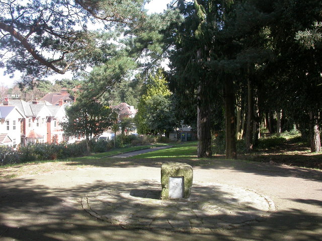
Image: © Mike Faherty Taken: 28 Mar 2009
Linear gardens between Firbank & Green Roads http://www.bournemouth.gov.uk/Library/PDF/Landscape/DRAFT%20WOODLAND%20STRATEGY%2006-2006.pdf Commemorates the death of soldiers from the Hampshire Regiment at the defence of Fampoux in 1918 http://www.wintonforum.co.uk/wintongreatwar.html
Images are licensed for reuse under creativecommons.org/licenses/by-sa/2.0
Image Location
Latitude
50.743277
Longitude
-1.863181