Hey Farmhouse
Introduction
The photograph on this page of Hey Farmhouse by Mike Searle as part of the Geograph project.
The Geograph project started in 2005 with the aim of publishing, organising and preserving representative images for every square kilometre of Great Britain, Ireland and the Isle of Man.

There are currently over 7.5m images from over 14,400 individuals and you can help contribute to the project by visiting https://www.geograph.org.uk
Hey Farmhouse
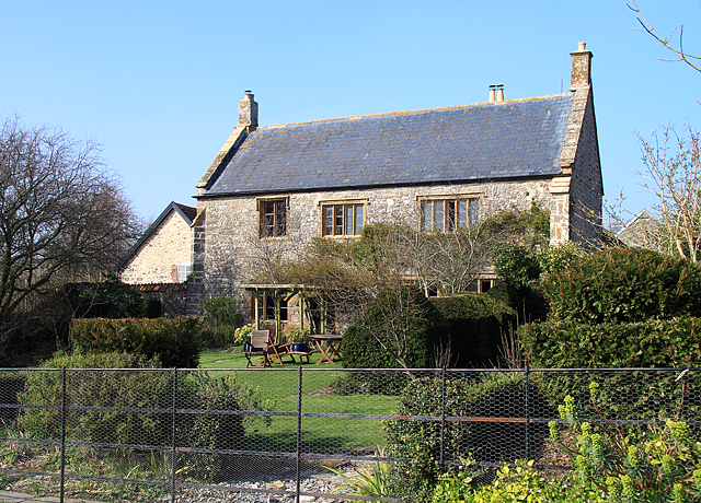
Image: © Mike Searle Taken: 20 Mar 2009
A grade II* farmhouse of circa 1500 and later, said to have originally been built as a grange to nearby Forde Abbey. The Welsh slate roof between the high coped gables is not original, suggesting that it was once thatched.
Images are licensed for reuse under creativecommons.org/licenses/by-sa/2.0
Image Location
Latitude
50.85449
Longitude
-2.870948