Rail lines west of Stowmarket station
Introduction
The photograph on this page of Rail lines west of Stowmarket station by John Goldsmith as part of the Geograph project.
The Geograph project started in 2005 with the aim of publishing, organising and preserving representative images for every square kilometre of Great Britain, Ireland and the Isle of Man.

There are currently over 7.5m images from over 14,400 individuals and you can help contribute to the project by visiting https://www.geograph.org.uk
Rail lines west of Stowmarket station
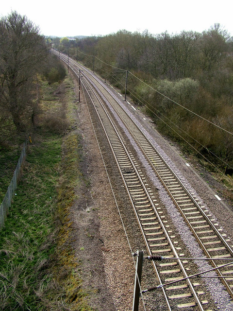
Image: © John Goldsmith Taken: 26 Mar 2009
Can a railway buff explain the odd grill mounted between the rails? This photo was taken from the A14 viaduct which passes over 2 roads, a pair of railway tracks, one farm track, and a river. The maps of the area just west of here are seriously incorrect since the Haughley Bends bypass was opened.
Images are licensed for reuse under creativecommons.org/licenses/by-sa/2.0
Image Location
Latitude
52.195587
Longitude
0.995279