On top of the embankment, Startops Reservoir
Introduction
The photograph on this page of On top of the embankment, Startops Reservoir by Chris Reynolds as part of the Geograph project.
The Geograph project started in 2005 with the aim of publishing, organising and preserving representative images for every square kilometre of Great Britain, Ireland and the Isle of Man.

There are currently over 7.5m images from over 14,400 individuals and you can help contribute to the project by visiting https://www.geograph.org.uk
On top of the embankment, Startops Reservoir
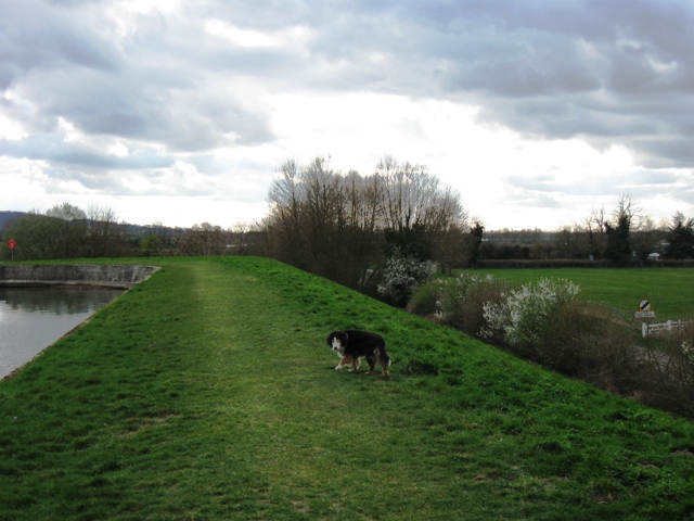
Image: © Chris Reynolds Taken: 27 Mar 2009
The Lower Icknield Way runs behind the hedge on the right. The hawthorn has just come into bloom in the fourth week in March.
Images are licensed for reuse under creativecommons.org/licenses/by-sa/2.0
Image Location
Latitude
51.81577
Longitude
-0.671408