Bridleway off Mount Tabor Road, Warley
Introduction
The photograph on this page of Bridleway off Mount Tabor Road, Warley by Humphrey Bolton as part of the Geograph project.
The Geograph project started in 2005 with the aim of publishing, organising and preserving representative images for every square kilometre of Great Britain, Ireland and the Isle of Man.

There are currently over 7.5m images from over 14,400 individuals and you can help contribute to the project by visiting https://www.geograph.org.uk
Bridleway off Mount Tabor Road, Warley
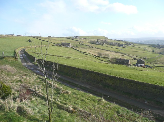
Image: © Humphrey Bolton Taken: 26 Mar 2009
This lane does not have a name, but goes past Upper Reap Hurst.
Images are licensed for reuse under creativecommons.org/licenses/by-sa/2.0
Image Location
Latitude
53.745653
Longitude
-1.925665