Footpath junction near Doddington
Introduction
The photograph on this page of Footpath junction near Doddington by David Anstiss as part of the Geograph project.
The Geograph project started in 2005 with the aim of publishing, organising and preserving representative images for every square kilometre of Great Britain, Ireland and the Isle of Man.

There are currently over 7.5m images from over 14,400 individuals and you can help contribute to the project by visiting https://www.geograph.org.uk
Footpath junction near Doddington
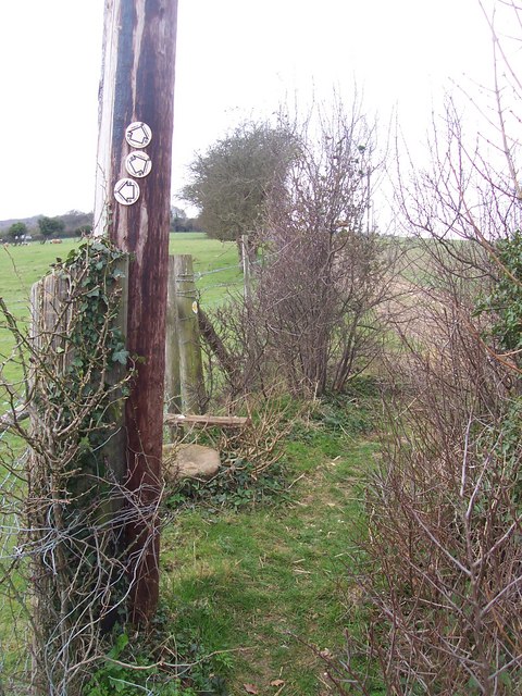
Image: © David Anstiss Taken: 24 Mar 2009
Path from Chequers Hill Road leads along escarpment above village then it comes downhill to Dully Hill.Path crossing this heads right from The Street, to Down Court Road.
Images are licensed for reuse under creativecommons.org/licenses/by-sa/2.0
Image Location
Latitude
51.282782
Longitude
0.769257