Bridleway through a coppice, Livesey Street
Introduction
The photograph on this page of Bridleway through a coppice, Livesey Street by Stephen Craven as part of the Geograph project.
The Geograph project started in 2005 with the aim of publishing, organising and preserving representative images for every square kilometre of Great Britain, Ireland and the Isle of Man.

There are currently over 7.5m images from over 14,400 individuals and you can help contribute to the project by visiting https://www.geograph.org.uk
Bridleway through a coppice, Livesey Street
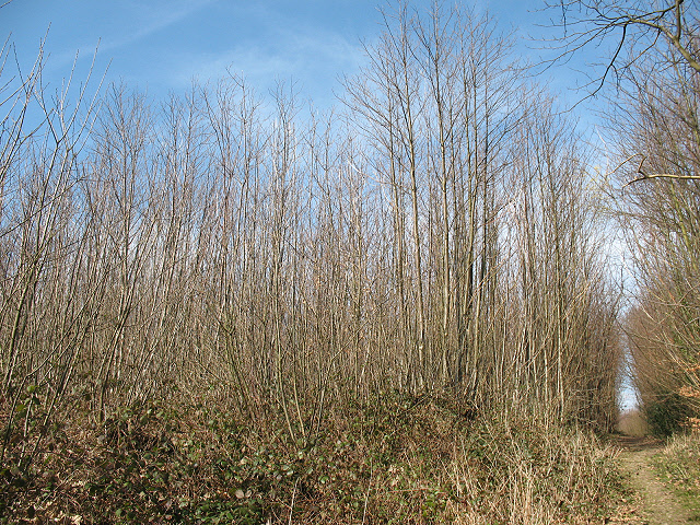
Image: © Stephen Craven Taken: 22 Mar 2009
This bridleway and its continuation northwards as a footpath run through an extensive area of coppice woodland. It is obviously actively managed, as there are different areas of contrasting amounts of regrowth. In this photo, the trees in the foreground are only about 3m high (the bridleway is in a cutting, which makes them look taller from this angle), whereas those in the background are at least 10m.
Images are licensed for reuse under creativecommons.org/licenses/by-sa/2.0
Image Location
Latitude
51.264445
Longitude
0.437289