Jubilee Lake, Wootton Bassett
Introduction
The photograph on this page of Jubilee Lake, Wootton Bassett by Brian Robert Marshall as part of the Geograph project.
The Geograph project started in 2005 with the aim of publishing, organising and preserving representative images for every square kilometre of Great Britain, Ireland and the Isle of Man.

There are currently over 7.5m images from over 14,400 individuals and you can help contribute to the project by visiting https://www.geograph.org.uk
Jubilee Lake, Wootton Bassett
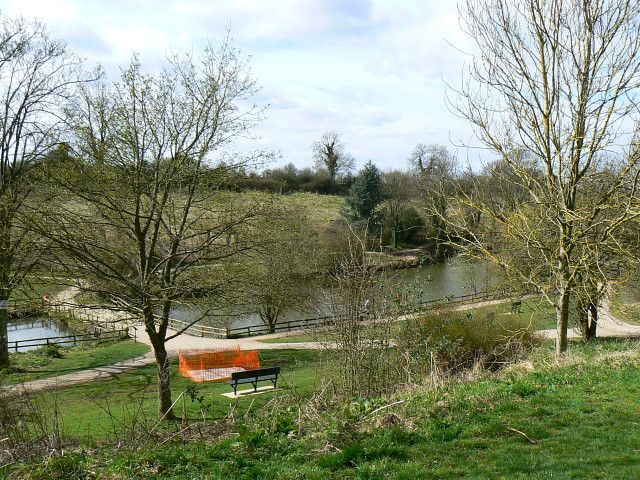
Image: © Brian Robert Marshall Taken: 24 Mar 2009
The lake is an artificial one having been created fairly early in the 20th century by damming Thunder Brook, a small watercourse that runs from east to west having risen under a kilometre away.
Images are licensed for reuse under creativecommons.org/licenses/by-sa/2.0
Image Location
Latitude
51.552507
Longitude
-1.901589