Butterbur on the banks of the Lour Burn
Introduction
The photograph on this page of Butterbur on the banks of the Lour Burn by Des Colhoun as part of the Geograph project.
The Geograph project started in 2005 with the aim of publishing, organising and preserving representative images for every square kilometre of Great Britain, Ireland and the Isle of Man.

There are currently over 7.5m images from over 14,400 individuals and you can help contribute to the project by visiting https://www.geograph.org.uk
Butterbur on the banks of the Lour Burn
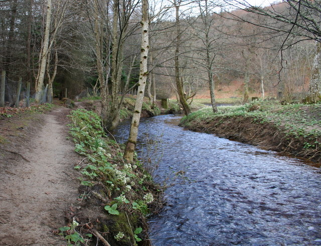
Image: © Des Colhoun Taken: 25 Mar 2009
The Lour Burn runs into the River Spey some 70 yards distant.That's the flower of the Butterbur plant which signals the start of Spring. Like the Winter Aconite,this plant is peculiar in that the flower precedes the leaf.
Images are licensed for reuse under creativecommons.org/licenses/by-sa/2.0
Image Location
Latitude
57.468709
Longitude
-3.233023