Shermanbury Place on the north side of the River adur
Introduction
The photograph on this page of Shermanbury Place on the north side of the River adur by Dave Spicer as part of the Geograph project.
The Geograph project started in 2005 with the aim of publishing, organising and preserving representative images for every square kilometre of Great Britain, Ireland and the Isle of Man.

There are currently over 7.5m images from over 14,400 individuals and you can help contribute to the project by visiting https://www.geograph.org.uk
Shermanbury Place on the north side of the River adur
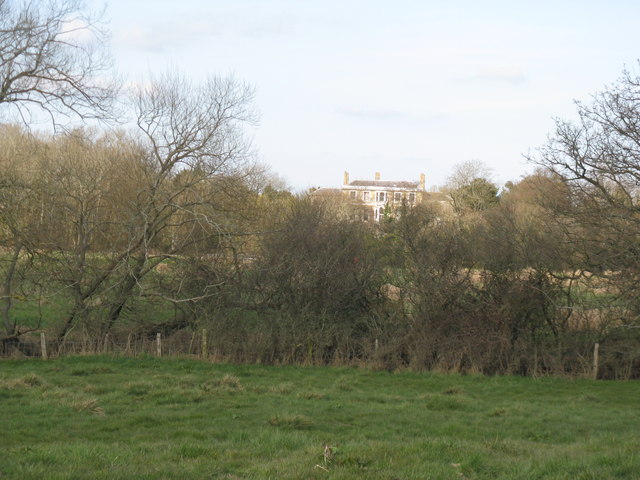
Image: © Dave Spicer Taken: 22 Mar 2009
Photographed from footpath near Mock Bridge south of the Adur
Images are licensed for reuse under creativecommons.org/licenses/by-sa/2.0
Image Location
Latitude
50.956126
Longitude
-0.27319