Airdrie Mill Cottage
Introduction
The photograph on this page of Airdrie Mill Cottage by Sarah McGuire as part of the Geograph project.
The Geograph project started in 2005 with the aim of publishing, organising and preserving representative images for every square kilometre of Great Britain, Ireland and the Isle of Man.

There are currently over 7.5m images from over 14,400 individuals and you can help contribute to the project by visiting https://www.geograph.org.uk
Airdrie Mill Cottage
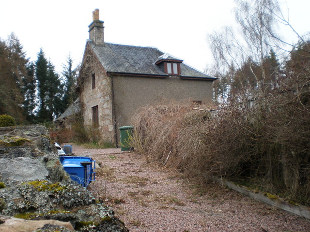
Image: © Sarah McGuire Taken: 24 Mar 2009
I asked if there was anything left of the mill and was told there was some old ruins down by the burn below house. There was no access to ruins, although I could see down glen to bridges, ponds, paths and burns.
Images are licensed for reuse under creativecommons.org/licenses/by-sa/2.0
Image Location
Latitude
57.49171
Longitude
-3.710125