Langley Village Sign
Introduction
The photograph on this page of Langley Village Sign by David Anstiss as part of the Geograph project.
The Geograph project started in 2005 with the aim of publishing, organising and preserving representative images for every square kilometre of Great Britain, Ireland and the Isle of Man.

There are currently over 7.5m images from over 14,400 individuals and you can help contribute to the project by visiting https://www.geograph.org.uk
Langley Village Sign
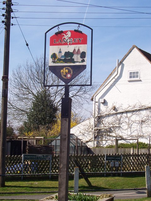
Image: © David Anstiss Taken: 18 Mar 2009
At Porters Corner, on Green Lane. Green Lane joins Heath Road, opposite Porters Walk. Erected by the Parish Council. Made of painted metal. Shows a ring of friendship with the French fleur-de-lys and English rose, showing the twinship with the French community of Bray-sur-Somme.
Images are licensed for reuse under creativecommons.org/licenses/by-sa/2.0
Image Location
Latitude
51.235573
Longitude
0.592206