Jubilee Lake, Wootton Bassett
Introduction
The photograph on this page of Jubilee Lake, Wootton Bassett by Brian Robert Marshall as part of the Geograph project.
The Geograph project started in 2005 with the aim of publishing, organising and preserving representative images for every square kilometre of Great Britain, Ireland and the Isle of Man.

There are currently over 7.5m images from over 14,400 individuals and you can help contribute to the project by visiting https://www.geograph.org.uk
Jubilee Lake, Wootton Bassett
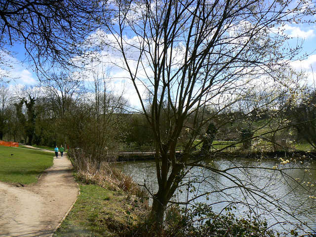
Image: © Brian Robert Marshall Taken: 24 Mar 2009
The lake was created around the time of the Great War when the Thunder Brook was dammed. It is now a popular leisure facility for anglers, dog-walkers and joggers.
Images are licensed for reuse under creativecommons.org/licenses/by-sa/2.0
Image Location
Latitude
51.552867
Longitude
-1.901876