Crannog at Togherdoo Lough
Introduction
The photograph on this page of Crannog at Togherdoo Lough by Kenneth Allen as part of the Geograph project.
The Geograph project started in 2005 with the aim of publishing, organising and preserving representative images for every square kilometre of Great Britain, Ireland and the Isle of Man.

There are currently over 7.5m images from over 14,400 individuals and you can help contribute to the project by visiting https://www.geograph.org.uk
Crannog at Togherdoo Lough
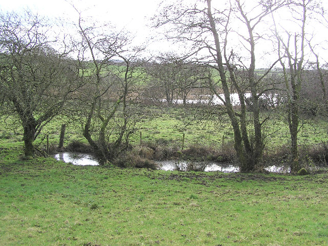
Image: © Kenneth Allen Taken: 14 Feb 2006
It is the brown area to the left, just about visible behind the trees
Images are licensed for reuse under creativecommons.org/licenses/by-sa/2.0
Image Location


Leaflet Map data © OpenStreetMap
Latitude
54.4944
Longitude
-7.452893