Signpost at the junction of Kingsford Lane and Sladd Lane
Introduction
The photograph on this page of Signpost at the junction of Kingsford Lane and Sladd Lane by P L Chadwick as part of the Geograph project.
The Geograph project started in 2005 with the aim of publishing, organising and preserving representative images for every square kilometre of Great Britain, Ireland and the Isle of Man.

There are currently over 7.5m images from over 14,400 individuals and you can help contribute to the project by visiting https://www.geograph.org.uk
Signpost at the junction of Kingsford Lane and Sladd Lane
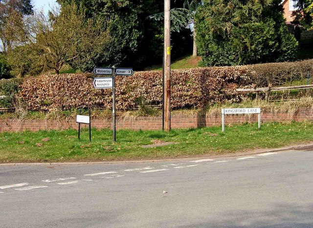
Image: © P L Chadwick Taken: 21 Mar 2009
Opposite this junction is a public footpath recently upgraded to a restricted bridleway, which leads to the hamlet of Blakeshall.
Images are licensed for reuse under creativecommons.org/licenses/by-sa/2.0
Image Location


Leaflet Map data © OpenStreetMap
Latitude
52.42389
Longitude
-2.269212