Lane to Upper House, Wolfsdale
Introduction
The photograph on this page of Lane to Upper House, Wolfsdale by Deborah Tilley as part of the Geograph project.
The Geograph project started in 2005 with the aim of publishing, organising and preserving representative images for every square kilometre of Great Britain, Ireland and the Isle of Man.

There are currently over 7.5m images from over 14,400 individuals and you can help contribute to the project by visiting https://www.geograph.org.uk
Lane to Upper House, Wolfsdale
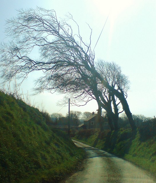
Image: © Deborah Tilley Taken: 22 Mar 2009
The bent trees are a strong indicator of the prevailing winds, or maybe they've been cut that way to avoid the overhead cables.
Images are licensed for reuse under creativecommons.org/licenses/by-sa/2.0
Image Location
Latitude
51.854759
Longitude
-5.004147