Beaumaris bowling green
Introduction
The photograph on this page of Beaumaris bowling green by John S Turner as part of the Geograph project.
The Geograph project started in 2005 with the aim of publishing, organising and preserving representative images for every square kilometre of Great Britain, Ireland and the Isle of Man.

There are currently over 7.5m images from over 14,400 individuals and you can help contribute to the project by visiting https://www.geograph.org.uk
Beaumaris bowling green
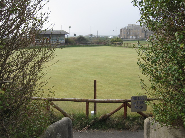
Image: © John S Turner Taken: 21 Mar 2009
Beaumaris bowling green seen from the steps to the pay and display car park. The famous castle is just out of sight to the right.
Images are licensed for reuse under creativecommons.org/licenses/by-sa/2.0
Image Location
Latitude
53.264842
Longitude
-4.088217