Folly Farm Roundabout, Aldbury and Pitstone
Introduction
The photograph on this page of Folly Farm Roundabout, Aldbury and Pitstone by Chris Reynolds as part of the Geograph project.
The Geograph project started in 2005 with the aim of publishing, organising and preserving representative images for every square kilometre of Great Britain, Ireland and the Isle of Man.

There are currently over 7.5m images from over 14,400 individuals and you can help contribute to the project by visiting https://www.geograph.org.uk
Folly Farm Roundabout, Aldbury and Pitstone
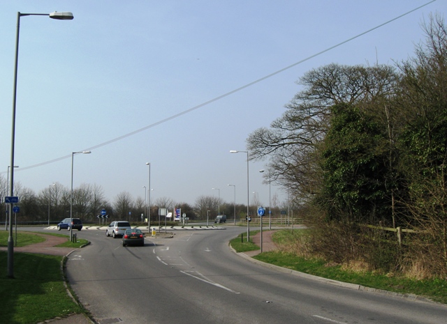
Image: © Chris Reynolds Taken: 21 Mar 2009
This roundabout, which was constructed about 10 years ago as part of the redevelopment of the Pitstone Cement Works site, lies on the Hertfordshire/Buckinghamshire border. The drive to the left leads to Folly Farm, in the parish of Aldbury, while the far side is in Pitstone, Bucks. The woodland to the right is part of the screen round a large chalk pit.
Images are licensed for reuse under creativecommons.org/licenses/by-sa/2.0
Image Location
Latitude
51.818247
Longitude
-0.63637