Slipway at Point Quay
Introduction
The photograph on this page of Slipway at Point Quay by John Gibson as part of the Geograph project.
The Geograph project started in 2005 with the aim of publishing, organising and preserving representative images for every square kilometre of Great Britain, Ireland and the Isle of Man.

There are currently over 7.5m images from over 14,400 individuals and you can help contribute to the project by visiting https://www.geograph.org.uk
Slipway at Point Quay
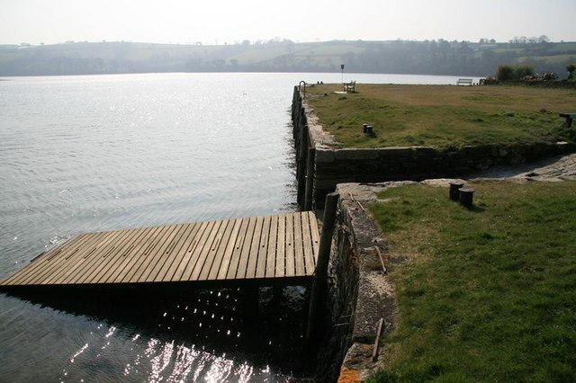
Image: © John Gibson Taken: 20 Mar 2009
Ancient and modern slipway at Point. Point Quay was the terminus of the Redruth and Chasewater Railway (1824 to 1915) before an extension was built towards Penpol to reach the smelt mill.
Images are licensed for reuse under creativecommons.org/licenses/by-sa/2.0
Image Location
Latitude
50.205733
Longitude
-5.070014