Robin Hood Way
Introduction
The photograph on this page of Robin Hood Way by Alan Murray-Rust as part of the Geograph project.
The Geograph project started in 2005 with the aim of publishing, organising and preserving representative images for every square kilometre of Great Britain, Ireland and the Isle of Man.

There are currently over 7.5m images from over 14,400 individuals and you can help contribute to the project by visiting https://www.geograph.org.uk
Robin Hood Way
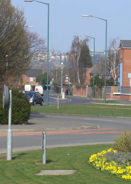
Image: © Alan Murray-Rust Taken: 20 Mar 2009
This road was created on a completely new alignment as part of the redevelopment of the Meadows during the 1970s. This section roughly follows the southern end of Wilford Road, one of the main roads south, and part of the old tram network.
Images are licensed for reuse under creativecommons.org/licenses/by-sa/2.0
Image Location
Latitude
52.940437
Longitude
-1.15492