Stourbridge Community Fire Station
Introduction
The photograph on this page of Stourbridge Community Fire Station by P L Chadwick as part of the Geograph project.
The Geograph project started in 2005 with the aim of publishing, organising and preserving representative images for every square kilometre of Great Britain, Ireland and the Isle of Man.

There are currently over 7.5m images from over 14,400 individuals and you can help contribute to the project by visiting https://www.geograph.org.uk
Stourbridge Community Fire Station
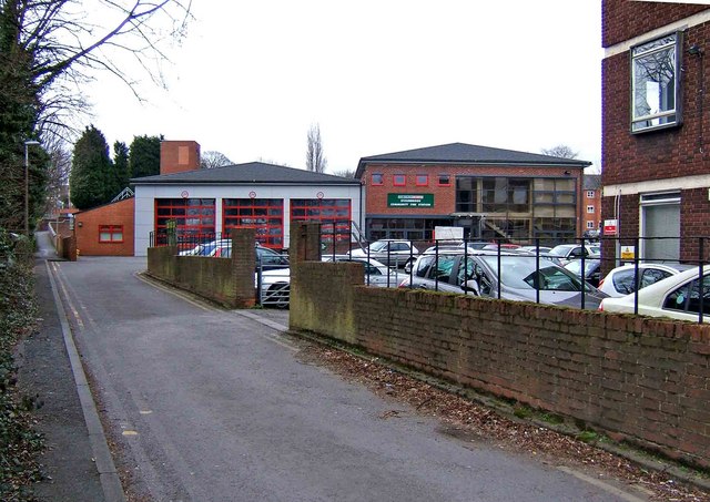
Image: © P L Chadwick Taken: 13 Mar 2009
The fire station has been refurbished, with a community room added for use by groups for presentations and meetings, and an educational facility. This site shows some of the vehicles stationed here: http://fireenginepics.fotopic.net/c1245469.html
Images are licensed for reuse under creativecommons.org/licenses/by-sa/2.0
Image Location
Latitude
52.454677
Longitude
-2.142845