Corner of Rock Mill Lane and Rugby Road, Leamington Spa
Introduction
The photograph on this page of Corner of Rock Mill Lane and Rugby Road, Leamington Spa by Robin Stott as part of the Geograph project.
The Geograph project started in 2005 with the aim of publishing, organising and preserving representative images for every square kilometre of Great Britain, Ireland and the Isle of Man.

There are currently over 7.5m images from over 14,400 individuals and you can help contribute to the project by visiting https://www.geograph.org.uk
Corner of Rock Mill Lane and Rugby Road, Leamington Spa
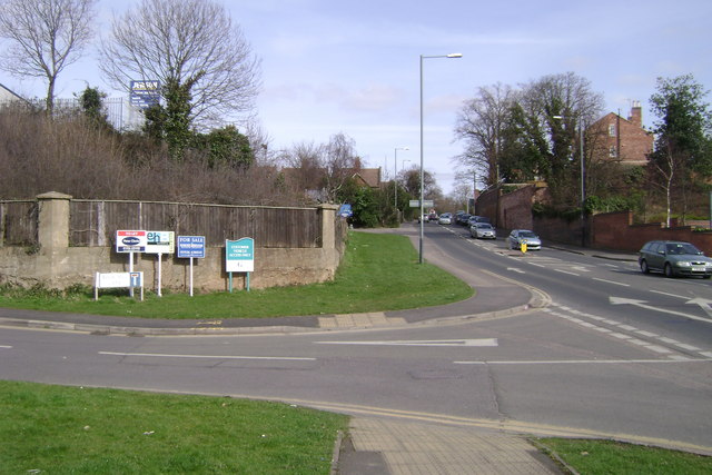
Image: © Robin Stott Taken: 15 Mar 2009
Rugby Road, right, drops sharply down from the heights of Milverton into the valley of the River Avon.
Images are licensed for reuse under creativecommons.org/licenses/by-sa/2.0
Image Location
Latitude
52.28951
Longitude
-1.558662