Farmland at Hyndlee Glen
Introduction
The photograph on this page of Farmland at Hyndlee Glen by Walter Baxter as part of the Geograph project.
The Geograph project started in 2005 with the aim of publishing, organising and preserving representative images for every square kilometre of Great Britain, Ireland and the Isle of Man.

There are currently over 7.5m images from over 14,400 individuals and you can help contribute to the project by visiting https://www.geograph.org.uk
Farmland at Hyndlee Glen
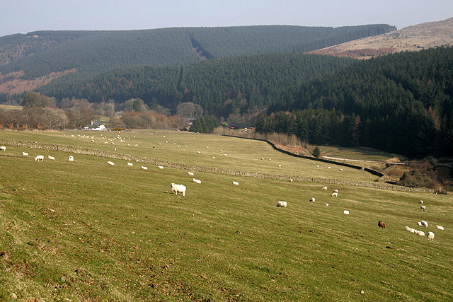
Image: © Walter Baxter Taken: 21 Mar 2009
Sheep fields viewed from the B6357 with Wauchope Forest in the background.
Images are licensed for reuse under creativecommons.org/licenses/by-sa/2.0
Image Location
Latitude
55.341441
Longitude
-2.650813