Castell Harlech Y Ward Allanol - Outer Ward
Introduction
The photograph on this page of Castell Harlech Y Ward Allanol - Outer Ward by Alan Fryer as part of the Geograph project.
The Geograph project started in 2005 with the aim of publishing, organising and preserving representative images for every square kilometre of Great Britain, Ireland and the Isle of Man.

There are currently over 7.5m images from over 14,400 individuals and you can help contribute to the project by visiting https://www.geograph.org.uk
Castell Harlech Y Ward Allanol - Outer Ward
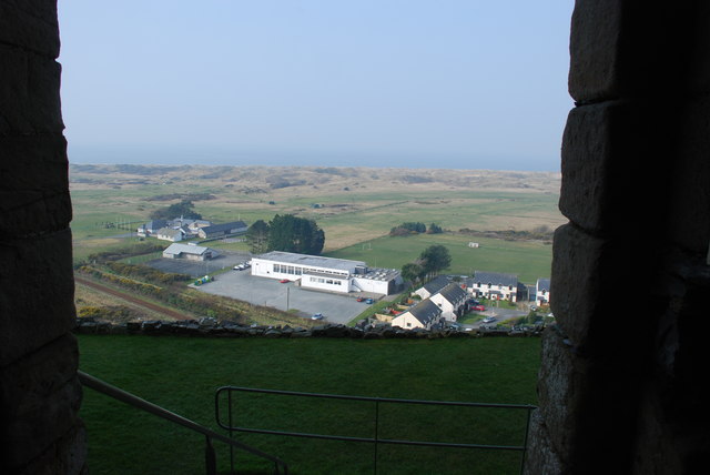
Image: © Alan Fryer Taken: 21 Mar 2009
Looking from the great hall of Image] across Morfa Harlech. When the castle was built the area below the outer defences was covered by the sea and offered a safe approach to the castle.
Images are licensed for reuse under creativecommons.org/licenses/by-sa/2.0
Image Location
Latitude
52.859689
Longitude
-4.110299