Road Junction on the B768 beside Pollok Park
Introduction
The photograph on this page of Road Junction on the B768 beside Pollok Park by G Laird as part of the Geograph project.
The Geograph project started in 2005 with the aim of publishing, organising and preserving representative images for every square kilometre of Great Britain, Ireland and the Isle of Man.

There are currently over 7.5m images from over 14,400 individuals and you can help contribute to the project by visiting https://www.geograph.org.uk
Road Junction on the B768 beside Pollok Park
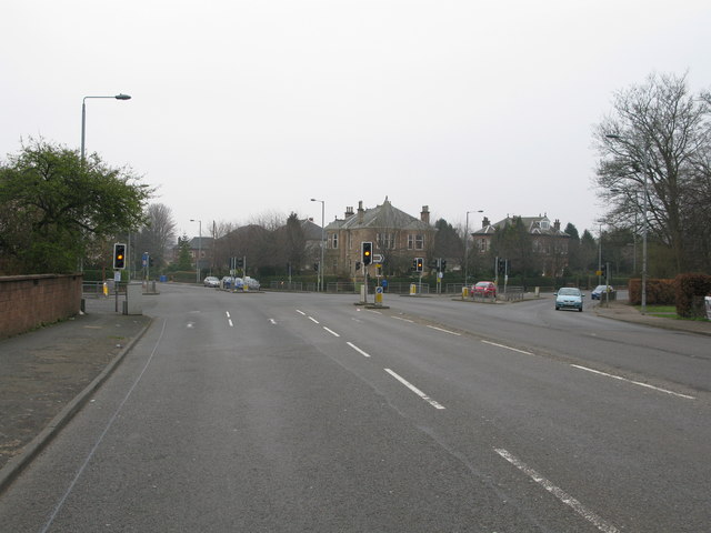
Image: © G Laird Taken: 21 Mar 2009
The B768 continues straight through eventually leading to Rutherglen, while the B769 branching off to the right leads to Thornliebank.
Images are licensed for reuse under creativecommons.org/licenses/by-sa/2.0
Image Location
Latitude
55.834434
Longitude
-4.296643