Greville Road, Warwick
Introduction
The photograph on this page of Greville Road, Warwick by Robin Stott as part of the Geograph project.
The Geograph project started in 2005 with the aim of publishing, organising and preserving representative images for every square kilometre of Great Britain, Ireland and the Isle of Man.

There are currently over 7.5m images from over 14,400 individuals and you can help contribute to the project by visiting https://www.geograph.org.uk
Greville Road, Warwick
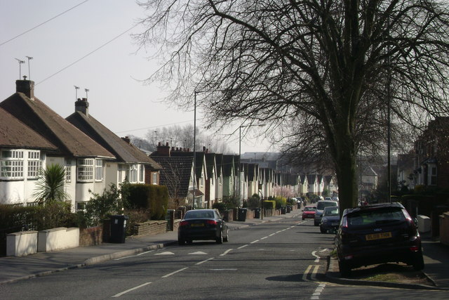
Image: © Robin Stott Taken: 20 Mar 2009
A long, busy, monotonous road connecting several residential areas. Parking on grass verges was so prevalent in the area that the council has paved most of them for residents' use. Greville was a family name of the Earls of Warwick.
Images are licensed for reuse under creativecommons.org/licenses/by-sa/2.0
Image Location
Latitude
52.290426
Longitude
-1.563051