Winter Gardens Way, Banbury
Introduction
The photograph on this page of Winter Gardens Way, Banbury by David Stowell as part of the Geograph project.
The Geograph project started in 2005 with the aim of publishing, organising and preserving representative images for every square kilometre of Great Britain, Ireland and the Isle of Man.

There are currently over 7.5m images from over 14,400 individuals and you can help contribute to the project by visiting https://www.geograph.org.uk
Winter Gardens Way, Banbury
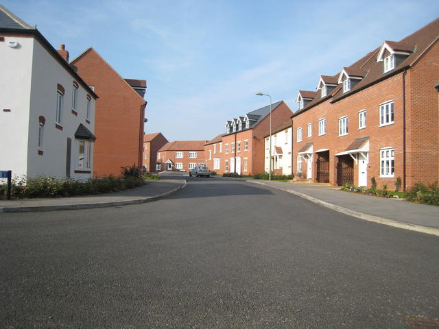
Image: © David Stowell Taken: 20 Mar 2009
Part of the large Hanwell Fields development, at the junction with Sage Close (Many roads in the development are named after herbs). Interestingly for such a large housing development the mixture of different house designs is such that it is almost impossible to see any two that are identical in the same view.
Images are licensed for reuse under creativecommons.org/licenses/by-sa/2.0
Image Location
Latitude
52.078219
Longitude
-1.359382