North end of Clawdd Mawr, Cynwyl Elfed
Introduction
The photograph on this page of North end of Clawdd Mawr, Cynwyl Elfed by Dylan Moore as part of the Geograph project.
The Geograph project started in 2005 with the aim of publishing, organising and preserving representative images for every square kilometre of Great Britain, Ireland and the Isle of Man.

There are currently over 7.5m images from over 14,400 individuals and you can help contribute to the project by visiting https://www.geograph.org.uk
North end of Clawdd Mawr, Cynwyl Elfed
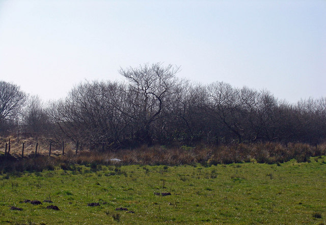
Image: © Dylan Moore Taken: 20 Mar 2009
Clawdd Mawr marked the eastern boundary of the Kingdom of Dyfed. Dyfed was bounded, in characteristic Celtic manner, by streams (the Bargod and the Teifi to the north, and the Duad, Gwili and Tywi to the east). This left a narrow neck of land across the watershed where a man-made boundary was required. The bank originally extended slightly farther north.
Images are licensed for reuse under creativecommons.org/licenses/by-sa/2.0
Image Location
Latitude
51.978161
Longitude
-4.365227