The Site Of Maybole Town Cross
Introduction
The photograph on this page of The Site Of Maybole Town Cross by Mary and Angus Hogg as part of the Geograph project.
The Geograph project started in 2005 with the aim of publishing, organising and preserving representative images for every square kilometre of Great Britain, Ireland and the Isle of Man.

There are currently over 7.5m images from over 14,400 individuals and you can help contribute to the project by visiting https://www.geograph.org.uk
The Site Of Maybole Town Cross
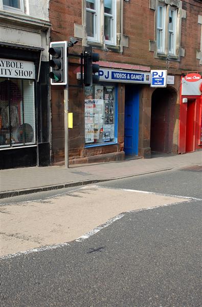
Image: © Mary and Angus Hogg Taken: 19 Mar 2009
The small iron cross in the road marks the position of the old Town Cross. Even though the High Street was much wider than it is nowadays, the Cross was removed in 1773 because it was obstructing the traffic. (Source: "Maybole - Carrick's Capital", by James T Gray). The A77 road goes along Maybole High Street and the high volume of traffic, much of it heavy lorries for the Irish ferries on Loch Ryan, has produced repeated calls for a town by-pass.
Images are licensed for reuse under creativecommons.org/licenses/by-sa/2.0
Image Location
Latitude
55.354
Longitude
-4.681926