Folds Lane
Introduction
The photograph on this page of Folds Lane by Richard Croft as part of the Geograph project.
The Geograph project started in 2005 with the aim of publishing, organising and preserving representative images for every square kilometre of Great Britain, Ireland and the Isle of Man.

There are currently over 7.5m images from over 14,400 individuals and you can help contribute to the project by visiting https://www.geograph.org.uk
Folds Lane
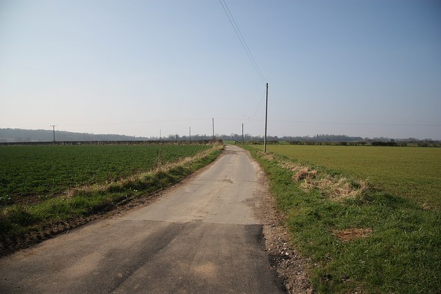
Image: © Richard Croft Taken: 20 Mar 2009
Lane from Blyth Gate Lane to an area called Secret Flats and on to Folds Farm
Images are licensed for reuse under creativecommons.org/licenses/by-sa/2.0
Image Location
Latitude
53.415043
Longitude
-1.126887