Lane to Rhiwsaeth
Introduction
The photograph on this page of Lane to Rhiwsaeth by Jonathan Billinger as part of the Geograph project.
The Geograph project started in 2005 with the aim of publishing, organising and preserving representative images for every square kilometre of Great Britain, Ireland and the Isle of Man.

There are currently over 7.5m images from over 14,400 individuals and you can help contribute to the project by visiting https://www.geograph.org.uk
Lane to Rhiwsaeth
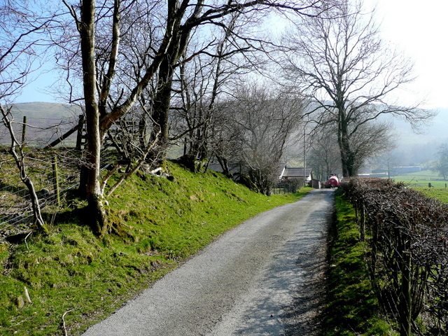
Image: © Jonathan Billinger Taken: 20 Mar 2009
The dead-end lane serves a farm on the south side of Cwm Fedw.
Images are licensed for reuse under creativecommons.org/licenses/by-sa/2.0
Image Location
Latitude
52.79567
Longitude
-3.376409