Bradley Road, Nelson, Lancashire
Introduction
The photograph on this page of Bradley Road, Nelson, Lancashire by Dr Neil Clifton as part of the Geograph project.
The Geograph project started in 2005 with the aim of publishing, organising and preserving representative images for every square kilometre of Great Britain, Ireland and the Isle of Man.

There are currently over 7.5m images from over 14,400 individuals and you can help contribute to the project by visiting https://www.geograph.org.uk
Bradley Road, Nelson, Lancashire
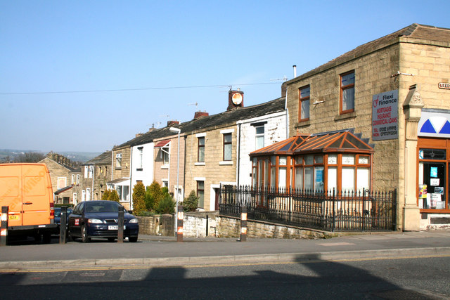
Image: © Dr Neil Clifton Taken: 19 Mar 2009
Bradley Road runs north-westwards from Leeds Road before turning west to meet Scotland Road. As it used to be used for 'rat-running', the Leeds Road end is now closed off to traffic.
Images are licensed for reuse under creativecommons.org/licenses/by-sa/2.0
Image Location
Latitude
53.838967
Longitude
-2.209676