Bridle Lane, Lower Hartshay
Introduction
The photograph on this page of Bridle Lane, Lower Hartshay by Alan Murray-Rust as part of the Geograph project.
The Geograph project started in 2005 with the aim of publishing, organising and preserving representative images for every square kilometre of Great Britain, Ireland and the Isle of Man.

There are currently over 7.5m images from over 14,400 individuals and you can help contribute to the project by visiting https://www.geograph.org.uk
Bridle Lane, Lower Hartshay
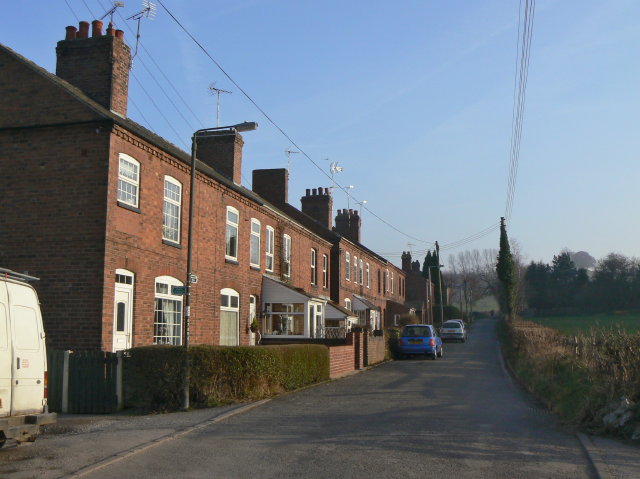
Image: © Alan Murray-Rust Taken: 18 Mar 2009
The presence of this row of typically industrial cottages in a rural setting appears strange today, but in the 19th century there was considerable coal mining activity locally.
Images are licensed for reuse under creativecommons.org/licenses/by-sa/2.0
Image Location
Latitude
53.056166
Longitude
-1.433752