Private Jetty
Introduction
The photograph on this page of Private Jetty by Bob Jenkins as part of the Geograph project.
The Geograph project started in 2005 with the aim of publishing, organising and preserving representative images for every square kilometre of Great Britain, Ireland and the Isle of Man.

There are currently over 7.5m images from over 14,400 individuals and you can help contribute to the project by visiting https://www.geograph.org.uk
Private Jetty
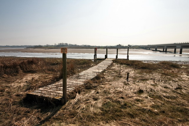
Image: © Bob Jenkins Taken: 19 Mar 2009
Belonging to the Shard Bridge Public House. Just to the left is the line of the old toll bridge, comprehensively demolished.
Images are licensed for reuse under creativecommons.org/licenses/by-sa/2.0
Image Location
Latitude
53.862733
Longitude
-2.958665