Grove Street, Clifton
Introduction
The photograph on this page of Grove Street, Clifton by Humphrey Bolton as part of the Geograph project.
The Geograph project started in 2005 with the aim of publishing, organising and preserving representative images for every square kilometre of Great Britain, Ireland and the Isle of Man.

There are currently over 7.5m images from over 14,400 individuals and you can help contribute to the project by visiting https://www.geograph.org.uk
Grove Street, Clifton
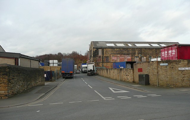
Image: © Humphrey Bolton Taken: 2 Mar 2009
An industrial street connecting Wakefield Road with Mill Lane, where it changes its name to Armytage Road. Grove Street Mills (Cotton in 1907) were on the right; one building survives.
Images are licensed for reuse under creativecommons.org/licenses/by-sa/2.0
Image Location
Latitude
53.700526
Longitude
-1.775791