Edith Avenue
Introduction
The photograph on this page of Edith Avenue by Simon Carey as part of the Geograph project.
The Geograph project started in 2005 with the aim of publishing, organising and preserving representative images for every square kilometre of Great Britain, Ireland and the Isle of Man.

There are currently over 7.5m images from over 14,400 individuals and you can help contribute to the project by visiting https://www.geograph.org.uk
Edith Avenue
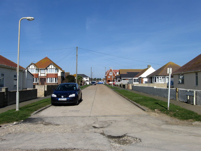
Image: © Simon Carey Taken: 15 Mar 2009
Another road with many different sections. This part looks from the southern junction with The Promenade near the cliff top and looks towards the South Coast Road, the A259. It then continues northward to Arundel Road before being separated from its northern section between Balcombe Road and Firle Road by the Meridian Centre.
Images are licensed for reuse under creativecommons.org/licenses/by-sa/2.0
Image Location
Latitude
50.790737
Longitude
-0.002615