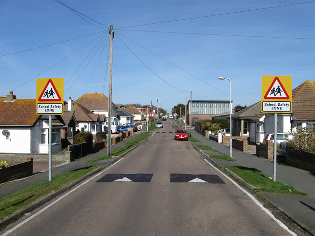
Roderick Avenue
Introduction
The photograph on this page of Roderick Avenue by Simon Carey as part of the Geograph project.
The Geograph project started in 2005 with the aim of publishing, organising and preserving representative images for every square kilometre of Great Britain, Ireland and the Isle of Man.
There are currently over 7.5m images from over 14,400 individuals and you can help contribute to the project by visiting https://www.geograph.org.uk

Image: © Simon Carey Taken: 15 Mar 2009
This section of the road links Arundel Road to South Coast Road though the latter has now been closed off to traffic. Originally the main road to the northern edge of Peacehaven it was superseded in the late 1970s when the construction of the Meridian Centre when it was easier to widen Sutton Avenue than this road. The building on the right in the distance is Peacehaven Infants School given a rebuild in the 1990s as a deal between the council and a developer wishing to build more houses, the former allowing the latter only if they upgrade all the local junior schools and build a much needed new secondary school.

