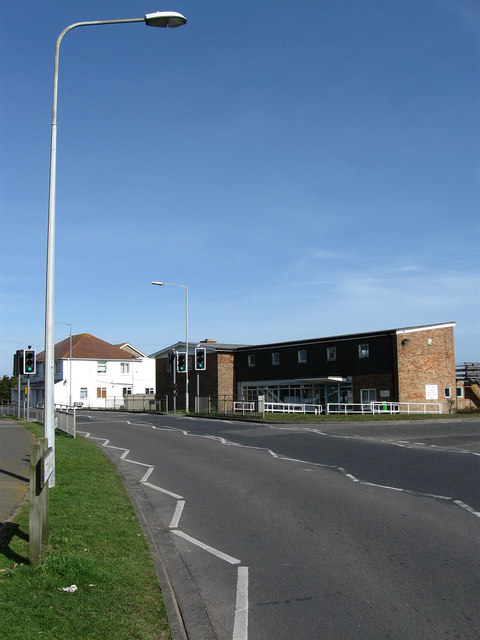
The Joff, Roderick Avenue
Introduction
The photograph on this page of The Joff, Roderick Avenue by Simon Carey as part of the Geograph project.
The Geograph project started in 2005 with the aim of publishing, organising and preserving representative images for every square kilometre of Great Britain, Ireland and the Isle of Man.
There are currently over 7.5m images from over 14,400 individuals and you can help contribute to the project by visiting https://www.geograph.org.uk

Image: © Simon Carey Taken: 15 Mar 2009
Peacehaven's youth club for nearly forty years built on the site of a former agricultural cottage known as Upper Hoddon. In my early teenage years around the late 1970s it was officially known as the youth club but nicknamed The Joff by those who used it, the nickname eventually becoming the official name still used thirty years on. Located at the point where Sutton Avenue becomes Roderick Avenue at the junction with Balcombe Road. The white building beyond was once a DIY shop but is now a private residence.

