Telscombe Civic Centre
Introduction
The photograph on this page of Telscombe Civic Centre by Simon Carey as part of the Geograph project.
The Geograph project started in 2005 with the aim of publishing, organising and preserving representative images for every square kilometre of Great Britain, Ireland and the Isle of Man.

There are currently over 7.5m images from over 14,400 individuals and you can help contribute to the project by visiting https://www.geograph.org.uk
Telscombe Civic Centre
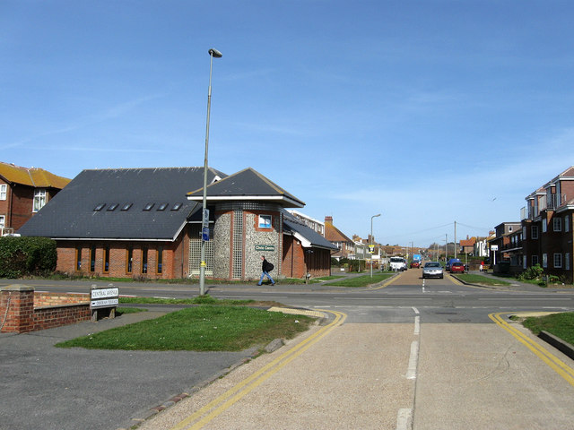
Image: © Simon Carey Taken: 15 Mar 2009
On the corner of South Coast Road, the A259, and Central Avenue. Built in the 1980s to replace an older building that had been erected in the 1920s. Central Avenue runs from the cliff tops to the site of the former Warren Farm.
Images are licensed for reuse under creativecommons.org/licenses/by-sa/2.0
Image Location
Latitude
50.794358
Longitude
-0.014522