Mere at Sound Heath
Introduction
The photograph on this page of Mere at Sound Heath by Espresso Addict as part of the Geograph project.
The Geograph project started in 2005 with the aim of publishing, organising and preserving representative images for every square kilometre of Great Britain, Ireland and the Isle of Man.

There are currently over 7.5m images from over 14,400 individuals and you can help contribute to the project by visiting https://www.geograph.org.uk
Mere at Sound Heath
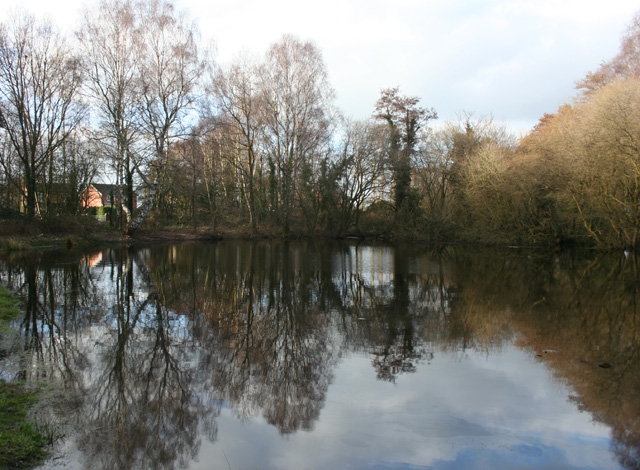
Image: © Espresso Addict Taken: 12 Mar 2009
A small area of common land occupies the corners of this square, Image, Image and Image The scrubland has a mixture of deciduous trees, bushes and grass. There are multiple meres or ponds, of which the largest is shown here; it lies between Wrenbury Heath Road (houses visible left) and the track pictured in Image Part of the area, including this mere, is designated an SSSI
Images are licensed for reuse under creativecommons.org/licenses/by-sa/2.0
Image Location
Latitude
53.028015
Longitude
-2.56878