The River Tay and Friarton bridge
Introduction
The photograph on this page of The River Tay and Friarton bridge by Val Vannet as part of the Geograph project.
The Geograph project started in 2005 with the aim of publishing, organising and preserving representative images for every square kilometre of Great Britain, Ireland and the Isle of Man.

There are currently over 7.5m images from over 14,400 individuals and you can help contribute to the project by visiting https://www.geograph.org.uk
The River Tay and Friarton bridge
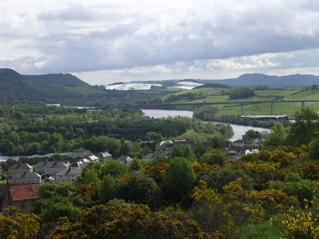
Image: © Val Vannet Taken: 23 May 2005
The view is taken from Craigie Hill to the south of Perth looking east along the valley of the Tay.
Images are licensed for reuse under creativecommons.org/licenses/by-sa/2.0
Image Location
Latitude
56.377479
Longitude
-3.434612