Llanbedr Ystrad Yw through the trees
Introduction
The photograph on this page of Llanbedr Ystrad Yw through the trees by Natasha Ceridwen de Chroustchoff as part of the Geograph project.
The Geograph project started in 2005 with the aim of publishing, organising and preserving representative images for every square kilometre of Great Britain, Ireland and the Isle of Man.

There are currently over 7.5m images from over 14,400 individuals and you can help contribute to the project by visiting https://www.geograph.org.uk
Llanbedr Ystrad Yw through the trees
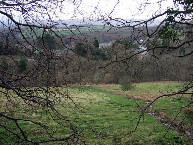
Image: © Natasha Ceridwen de Chroustchoff Taken: 12 Mar 2009
Looking west from the lane across the valley: it is possible to reach the village via a steep path down to the river but motor vehicles have to take a longer way round. The village's full name, Llanbedr Ystrad Yw, meaning St Peter's church in the yew vale, goes back to the early-mediaeval origins of this once-important locality lying in the peaceful, wooded, embrace of the Black Mountains.
Images are licensed for reuse under creativecommons.org/licenses/by-sa/2.0
Image Location
Latitude
51.877147
Longitude
-3.105426