Footpath entrance, Bowd's Lane, near Lyneham
Introduction
The photograph on this page of Footpath entrance, Bowd's Lane, near Lyneham by Brian Robert Marshall as part of the Geograph project.
The Geograph project started in 2005 with the aim of publishing, organising and preserving representative images for every square kilometre of Great Britain, Ireland and the Isle of Man.

There are currently over 7.5m images from over 14,400 individuals and you can help contribute to the project by visiting https://www.geograph.org.uk
Footpath entrance, Bowd's Lane, near Lyneham
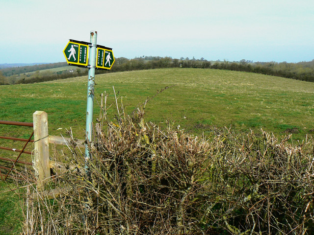
Image: © Brian Robert Marshall Taken: 17 Mar 2009
The footpath is at the top of a broad ridge running roughly south-west to north-east. To the right the slope leads down to a reservoir.
Images are licensed for reuse under creativecommons.org/licenses/by-sa/2.0
Image Location
Latitude
51.521973
Longitude
-1.968531