2009 : Pasture land near Chelwood
Introduction
The photograph on this page of 2009 : Pasture land near Chelwood by Maurice Pullin as part of the Geograph project.
The Geograph project started in 2005 with the aim of publishing, organising and preserving representative images for every square kilometre of Great Britain, Ireland and the Isle of Man.

There are currently over 7.5m images from over 14,400 individuals and you can help contribute to the project by visiting https://www.geograph.org.uk
2009 : Pasture land near Chelwood
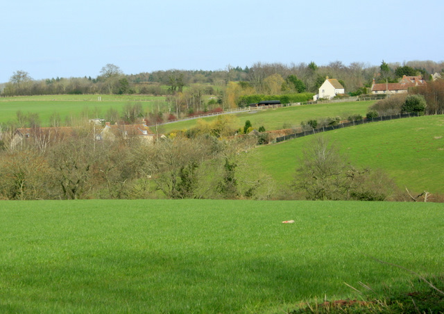
Image: © Maurice Pullin Taken: 15 Mar 2009
Taken from the A368 west of the village showing part of the reason why Chelwood does not have a bypass (yet).
Images are licensed for reuse under creativecommons.org/licenses/by-sa/2.0
Image Location
Latitude
51.355316
Longitude
-2.533597