Fields near Caundle Marsh
Introduction
The photograph on this page of Fields near Caundle Marsh by Nigel Mykura as part of the Geograph project.
The Geograph project started in 2005 with the aim of publishing, organising and preserving representative images for every square kilometre of Great Britain, Ireland and the Isle of Man.

There are currently over 7.5m images from over 14,400 individuals and you can help contribute to the project by visiting https://www.geograph.org.uk
Fields near Caundle Marsh
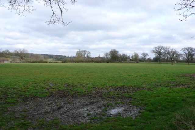
Image: © Nigel Mykura Taken: 14 Mar 2009
This is the view SE across the square towards Marsh Court which can be seen in the distance from Writh Road and the road from Caundle Marsh to Alweston.
Images are licensed for reuse under creativecommons.org/licenses/by-sa/2.0
Image Location
Latitude
50.923458
Longitude
-2.462624