Sharp bend; Edwards Lane becomes Beckhampton Road
Introduction
The photograph on this page of Sharp bend; Edwards Lane becomes Beckhampton Road by Alan Murray-Rust as part of the Geograph project.
The Geograph project started in 2005 with the aim of publishing, organising and preserving representative images for every square kilometre of Great Britain, Ireland and the Isle of Man.

There are currently over 7.5m images from over 14,400 individuals and you can help contribute to the project by visiting https://www.geograph.org.uk
Sharp bend; Edwards Lane becomes Beckhampton Road
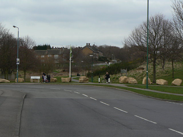
Image: © Alan Murray-Rust Taken: 15 Mar 2009
At this point it was intended that the main road should carry straight on. The land was reserved, but in the end the decision was made that it was not needed. The site remained open space and is now a protected Nature Reserve, Sandy Banks.
Images are licensed for reuse under creativecommons.org/licenses/by-sa/2.0
Image Location
Latitude
52.9977
Longitude
-1.154994