Station Road rebuilding 2
Introduction
The photograph on this page of Station Road rebuilding 2 by Jonathan Wilkins as part of the Geograph project.
The Geograph project started in 2005 with the aim of publishing, organising and preserving representative images for every square kilometre of Great Britain, Ireland and the Isle of Man.

There are currently over 7.5m images from over 14,400 individuals and you can help contribute to the project by visiting https://www.geograph.org.uk
Station Road rebuilding 2
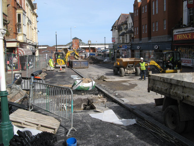
Image: © Jonathan Wilkins Taken: 16 Mar 2009
Poor ground conditions due to waterlogging of the clay subsoil has meant that quite large excavations must precede reconstruction and new paving in the northern end of the road which slopes downward in this direction.
Images are licensed for reuse under creativecommons.org/licenses/by-sa/2.0
Image Location
Latitude
53.295621
Longitude
-3.726587