The bottom of Cwm Cyneiniog
Introduction
The photograph on this page of The bottom of Cwm Cyneiniog by Nigel Brown as part of the Geograph project.
The Geograph project started in 2005 with the aim of publishing, organising and preserving representative images for every square kilometre of Great Britain, Ireland and the Isle of Man.

There are currently over 7.5m images from over 14,400 individuals and you can help contribute to the project by visiting https://www.geograph.org.uk
The bottom of Cwm Cyneiniog
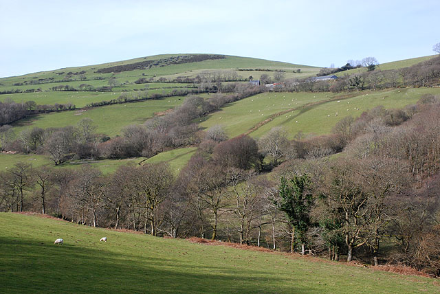
Image: © Nigel Brown Taken: 16 Mar 2009
Mainly fields for grazing, rising up to Winllan farm which can be seen high on the hillside.
Images are licensed for reuse under creativecommons.org/licenses/by-sa/2.0
Image Location
Latitude
52.479956
Longitude
-3.933323