Walton East tributary
Introduction
The photograph on this page of Walton East tributary by R Simpson as part of the Geograph project.
The Geograph project started in 2005 with the aim of publishing, organising and preserving representative images for every square kilometre of Great Britain, Ireland and the Isle of Man.

There are currently over 7.5m images from over 14,400 individuals and you can help contribute to the project by visiting https://www.geograph.org.uk
Walton East tributary
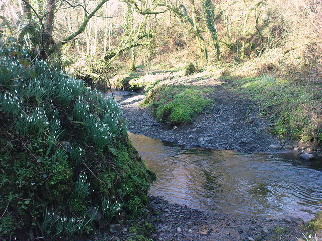
Image: © R Simpson Taken: 15 Mar 2009
Walton East/Froghall tributary to Cartlett Brook and eventually Western Claddau. It is quite deep and the bridleway also makes for a boggy stream all the way to Froghall.
Images are licensed for reuse under creativecommons.org/licenses/by-sa/2.0
Image Location


Leaflet Map data © OpenStreetMap
Latitude
51.873145
Longitude
-4.902358