View towards Chatham, Machen
Introduction
The photograph on this page of View towards Chatham, Machen by Kev Griffin as part of the Geograph project.
The Geograph project started in 2005 with the aim of publishing, organising and preserving representative images for every square kilometre of Great Britain, Ireland and the Isle of Man.

There are currently over 7.5m images from over 14,400 individuals and you can help contribute to the project by visiting https://www.geograph.org.uk
View towards Chatham, Machen
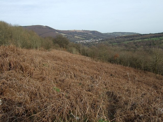
Image: © Kev Griffin Taken: 15 Mar 2009
The buildings in the distance are the Chatham area of Machen. This picture was taken from an small but steep path linking the Bedwas to Machen Cycleway with Upper Graig-y-Rhacca.
Images are licensed for reuse under creativecommons.org/licenses/by-sa/2.0
Image Location
Latitude
51.592816
Longitude
-3.163327